
1964 Map of Herrick NW
USGS Topo · Published 1965About this map
Butte Valley and its surrounding uplands are defined by the intricate drainage systems of the South Fork Whetstone Creek, Coon Creek, and Peters Creek. This 1964 field-checked survey reveals a rural landscape dominated by large agricultural tracts and the townships of Burke, Union, and St Charles. The southern portion of the quadrangle is marked by the path of the Chicago and North Western railroad, which historically served as the primary transit artery for this portion of Gregory County. Educational and social life centered on the Butte Valley Sch, while industrial activity is limited to a small Gravel Pit. The presence of a Flowing Well in the northeast suggests the local reliance on artesian water sources in this high-plains environment.
Find a feature on this map
15 named features on this map. Tap any name to fly to it.
Don’t see what you’re looking for? This feature index may not catch every label — zoom into the map to look around manually.
Map Details
Editions of this 1964 Herrick NW Map
This is the sole edition of this map. No revisions or reprints were ever made.
Other maps of this area

1955 · Mitchell
USGS Topo · 1:250,000

1959 · Mitchell
USGS Topo · 1:250,000

1964 · Gregory SE
USGS Topo · 1:24,000

1964 · Herrick NE
USGS Topo · 1:24,000

1964 · St. Charles
USGS Topo · 1:24,000
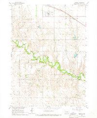
1964 · Herrick
USGS Topo · 1:24,000
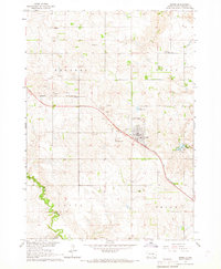
1964 · Burke
USGS Topo · 1:24,000

1971 · Lucas
USGS Topo · 1:24,000

1971 · Dixon SE
USGS Topo · 1:24,000

1971 · Lucas SE
USGS Topo · 1:24,000