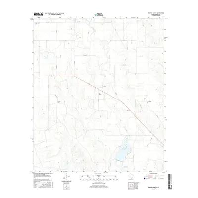
2016 Map of Herring Ranch
USGS Topo · Published 2016About this map
Norton and the namesake Herring Ranch anchor this West Texas landscape in Runnels County, where the terrain is defined by the winding course of Valley Creek and its many tributaries. The area's water management is centralized around Ballinger City Lake, which dominates the southeast, along with the smaller Currie Lake. The map reveals a network of rural county roads, such as Co RD 269 and Co RD 278, that connect ranching operations across a landscape of canyons and draws like Bull Hollow and Los Arroyos. This cattle-country geography is punctuated by drainage systems including Quarry Cr and Mustang Br, illustrating the historical importance of water access for land use in this semi-arid region. The transition from established ranch lands to public infrastructure near the city reservoir offers a clear look at the area's development during the early twenty-first century.
Find a feature on this map
36 named features on this map. Tap any name to fly to it.
Don’t see what you’re looking for? This feature index may not catch every label — zoom into the map to look around manually.
Map Details
Editions of this 2016 Herring Ranch Map
This is the sole edition of this map. No revisions or reprints were ever made.
Other maps of this area

1891 · Hayrick
USGS Topo · 1:125,000

1892 · Ballinger
USGS Topo · 1:125,000

1894 · Hayrick
USGS Topo · 1:125,000

1921 · Baker Flat
USGS Topo · 1:31,680

1921 · Hatchel
USGS Topo · 1:31,680

1921 · Maverick
USGS Topo · 1:31,680

1921 · Quarry Creek
USGS Topo · 1:31,680

1921 · Spur Creek
USGS Topo · 1:31,680

1921 · Rowena
USGS Topo · 1:31,680

1932 · Paint Rock
USGS Topo · 1:62,500