2023 Map of Hershey
USGS Topo · Published 2023About this map
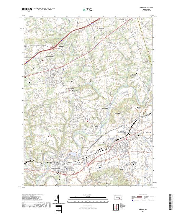
Swatara Creek and the historic path of the Union Canal dominate the landscape of southern Dauphin County in this contemporary survey. The map details the developed core of Hershey, showing the modern expansion of the Pennsylvania State University College of Medicine and the residential corridors along W Chocolate Ave and E Chocolate Ave. Beyond the industrial and confectionery hub, the terrain transitions into a patchwork of rural cemeteries and older crossroads settlements like Union Deposit and Hanoverdale.
Find a feature on this map
52 named features on this map. Tap any name to fly to it.
Don’t see what you’re looking for? This feature index may not catch every label — zoom into the map to look around manually.
Map Details
Editions of this 2023 Hershey Map
This is the sole edition of this map. No revisions or reprints were ever made.
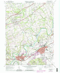
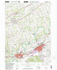
Historical Maps of Manadahill Through Time
4 maps found
Featured Locations
- Hummelstown, PA
- East Hanover Township, PA
- Rutherford, Swatara Township
- Skyline View, West Hanover Township
- Hershey, Derry Township