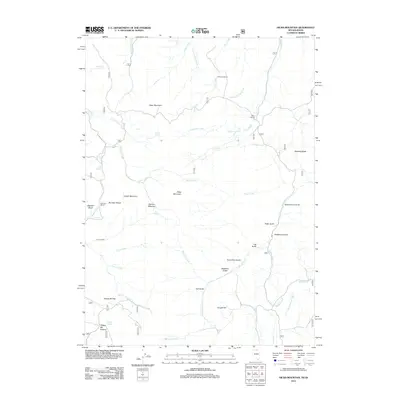
2012 Map of Hicks Mountain
USGS Topo · Published 2012About this map
McKenzie Ranch and Rizzi Ranch anchor the northern landscape of this high-elevation region in Elko County, where the terrain is defined by the sharp rise of the Bruneau Range and the Hicks Mountain massif. This 2012 survey illustrates a remote ranching and grazing environment, with water sources like Salmon Spring and Cold Springs proving essential for the high-meadow operations at Salmon Meadow. Evidence of historical land use appears in the naming of several deep canyons and draws, such as Snowshoe Gulch, Blackbird Gulch, and Schoolhouse Draw. The drainage network is complex, with Salmon Creek and Pole Creek cutting through the mountains. To the south, Yankee Bill Summit and Yankee Bill Flat offer prominent landmarks for those tracing early transportation routes or family-named grazing allotments in this corner of Nevada.
Find a feature on this map
47 named features on this map. Tap any name to fly to it.
Don’t see what you’re looking for? This feature index may not catch every label — zoom into the map to look around manually.
Map Details
Editions of this 2012 Hicks Mountain Map
This is the sole edition of this map. No revisions or reprints were ever made.
Other maps of this area
1936 · Mountain City
USGS Topo · 1:62,500
1936 · Rowland
USGS Topo · 1:48,000
1940 · Rowland
USGS Topo · 1:62,500
1940 · Mountain City
USGS Topo · 1:62,500

1955 · Twin Falls
USGS Topo · 1:250,000

1955 · Wells
USGS Topo · 1:250,000

1958 · Wells
USGS Topo · 1:250,000

1958 · Twin Falls
USGS Topo · 1:250,000

1961 · Wells
USGS Topo · 1:250,000
1979 · Indian Hay Meadows
USGS Topo · 1:24,000