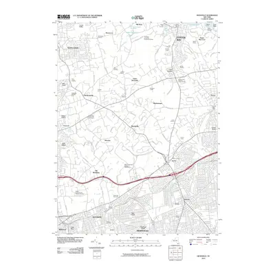
2010 Map of Hicksville
USGS Topo · Published 2010About this map
Oyster Bay and the surrounding Gold Coast communities of Nassau County are meticulously documented in this 2010 survey. The landscape is a study in suburban preservation, where large holdings like the Schiff Estate, Postley Estate, and Brewster Estate persist alongside numerous historic burial grounds. The map reveals the intricate road network winding through Upper Brookville and Muttontown, connecting the many educational campuses that define the northern section, including the Long Island University CW Post Campus and the State University College at Old Westbury. To the south, the character shifts as the densely populated streets of Hicksville and New Cassel converge near the Northern State Pkwy and Wantagh State Pkwy. Notable landmarks such as the Hitchcock Race Track and various community cemeteries provide essential points of reference for local historians and genealogists.
Find a feature on this map
104 named features on this map. Tap any name to fly to it.
Don’t see what you’re looking for? This feature index may not catch every label — zoom into the map to look around manually.
Map Details
Editions of this 2010 Hicksville Map
This is the sole edition of this map. No revisions or reprints were ever made.
Other maps of this area

1897 · Hempstead
USGS Topo · 1:62,500

1897 · Oyster Bay
USGS Topo · 1:62,500

1898 · Hempstead
USGS Topo · 1:62,500

1898 · Oyster Bay
USGS Topo · 1:62,500

1899 · Hempstead
USGS Topo · 1:62,500

1900 · Oyster Bay
USGS Topo · 1:62,500

1901 · Babylon
USGS Topo · 1:62,500

1901 · Northport
USGS Topo · 1:62,500

1903 · Babylon
USGS Topo · 1:62,500

1903 · Northport
USGS Topo · 1:62,500