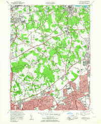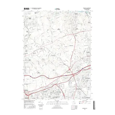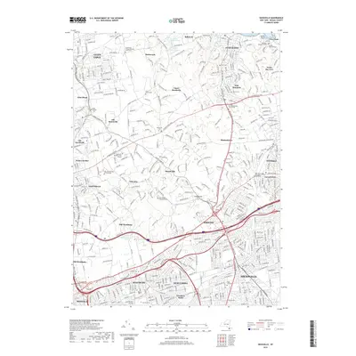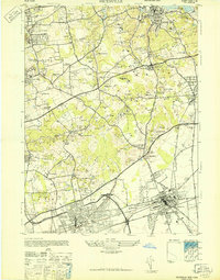
1947 Map of Hicksville
USGS Topo · Published 1947About this map
Oyster Bay Town and its surrounding North Shore hamlets appear here in the post-war period, characterized by a transition from established country estates to expanding suburban residential patterns. Large private holdings and estates, such as the Davison Estate, Makaroff Estate, and the Postley Estate, dominate the rolling landscape between Brookville and East Norwich. This era preserves the infrastructure of the area's equestrian and recreational history, including the Wheatley Stables, multiple polo fields, and the Womans National Golf & Tennis Club.
Find a feature on this map
99 named features on this map. Tap any name to fly to it.
Don’t see what you’re looking for? This feature index may not catch every label — zoom into the map to look around manually.
Map Details
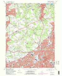
Editions of this 1947 Hicksville Map
This is the sole edition of this map. No revisions or reprints were ever made.
Historical Maps of Hempstead Through Time
8 maps found