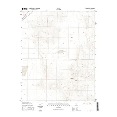
2014 Map of Hidden Valley
USGS Topo · Published 2014About this map
Erie occupies a small footprint in the northwestern corner of this study, positioned where the thoroughfare of S Las Vegas Blvd cuts through the desert floor. The landscape is primarily defined by the transition from the open flats of the Mojave Desert into the elevated terrain of the McCullough Range to the southeast. Centrally, the namesake Hidden Valley sits between these geological features, offering a clear view of the natural drainage and elevation patterns within the Basin and Range province. This 2014 survey documents the area before significant modern encroachment, showing the township and range lines of t24s r61e and t25s r61e as they overlay the arid topography.
Find a feature on this map
9 named features on this map. Tap any name to fly to it.
Don’t see what you’re looking for? This feature index may not catch every label — zoom into the map to look around manually.
Map Details
Editions of this 2014 Hidden Valley Map
This is the sole edition of this map. No revisions or reprints were ever made.
Other maps of this area

1910 · Ivanpah
USGS Topo · 1:250,000

1912 · Ivanpah
USGS Topo · 1:250,000

1942 · Ivanpah
USGS Topo · 1:250,000

1947 · Kingman
USGS Topo · 1:250,000

1948 · Kingman
USGS Topo · 1:250,000

1954 · Kingman
USGS Topo · 1:250,000

1955 · Kingman
USGS Topo · 1:250,000
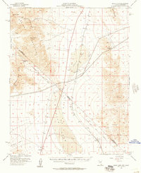
1955 · Roach Lake
USGS Topo · 1:62,500
1958 · Kingman
USGS Topo · 1:250,000
1960 · Kingman
USGS Topo · 1:250,000