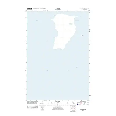
2011 Map of High Island
USGS Topo · Published 2011About this map
High Island emerges from the waters of Lake Michigan in this 2011 survey of the Beaver Island archipelago. The island's interior is marked by Lake Maria, a small inland water body, while the eastern shoreline is defined by the sheltered High Island Bay. This map also captures a portion of the neighboring landmass to the east, specifically noting the Beaver Island Golf Course. The terrain representation follows a moment in time before significant modern coastal changes, preserving the natural contours and isolated geography of these northern Michigan islands as they were documented at the start of the second decade of the 21st century.
Find a feature on this map
5 named features on this map. Tap any name to fly to it.
Don’t see what you’re looking for? This feature index may not catch every label — zoom into the map to look around manually.
Map Details
Editions of this 2011 High Island Map
This is the sole edition of this map. No revisions or reprints were ever made.
Other maps of this area

1955 · Gull Island
USGS Topo · 1:62,500

1955 · Cheboygan
USGS Topo · 1:250,000

1956 · Beaver Island
USGS Topo · 1:62,500

1958 · Cheboygan
USGS Topo · 1:250,000
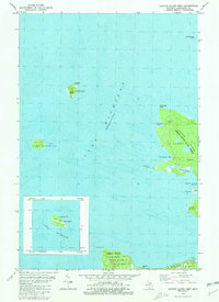
1980 · Garden Island West
USGS Topo · 1:24,000

1984 · Beaver Island
USGS Topo · 1:100,000

1986 · High Island
USGS Topo · 1:24,000
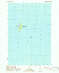
1986 · Gull Island
USGS Topo · 1:24,000

1986 · Beaver Island North
USGS Topo · 1:24,000
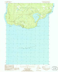
1986 · Beaver Island South
USGS Topo · 1:24,000