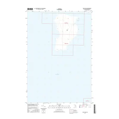
2017 Map of High Island
USGS Topo · Published 2017About this map
High Island stands as a solitary landmass in the northern waters of Lake Michigan, defined by its distinctive coastline and internal hydrology. This survey of Saint James Township illustrates the island's isolation, featuring the protected waters of High Island Bay on the eastern shore and the landlocked Lake Maria tucked behind the coastal dunes. The map provides a precise view of the island's elevation and shoreline as they existed in the mid-2010s. For researchers of the Beaver Island archipelago, this document captures the natural state of this uninhabited landscape, showing the distribution of wetlands and the topographical ridges that characterize its interior, far removed from the more developed settlements of the surrounding Great Lakes region.
Find a feature on this map
7 named features on this map. Tap any name to fly to it.
Don’t see what you’re looking for? This feature index may not catch every label — zoom into the map to look around manually.
Map Details
Editions of this 2017 High Island Map
This is the sole edition of this map. No revisions or reprints were ever made.
Other maps of this area
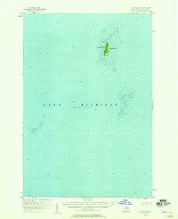
1955 · Gull Island
USGS Topo · 1:62,500
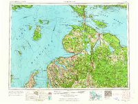
1955 · Cheboygan
USGS Topo · 1:250,000
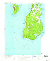
1956 · Beaver Island
USGS Topo · 1:62,500
1958 · Cheboygan
USGS Topo · 1:250,000
1980 · Garden Island West
USGS Topo · 1:24,000
1984 · Beaver Island
USGS Topo · 1:100,000
1986 · High Island
USGS Topo · 1:24,000
1986 · Gull Island
USGS Topo · 1:24,000
1986 · Beaver Island North
USGS Topo · 1:24,000
1986 · Beaver Island South
USGS Topo · 1:24,000