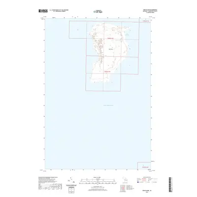
2019 Map of High Island
USGS Topo · Published 2019About this map
High Island dominates this northern Lake Michigan survey, sitting west of the larger Beaver Island in St. James Township. The landscape is characterized by a high interior ridge reaching elevations over 700 feet, which protects the small, perched Lake Maria in the island's northeast. The eastern shoreline is defined by the sheltered High Island Bay, providing a natural harbor contrasted against the more exposed western coast. The map clearly delineates the Public Land Survey System grids, including t39n r11w and t38n r11w, which mark the administrative divisions of this offshore territory within Charlevoix County.
Find a feature on this map
7 named features on this map. Tap any name to fly to it.
Don’t see what you’re looking for? This feature index may not catch every label — zoom into the map to look around manually.
Map Details
Editions of this 2019 High Island Map
This is the sole edition of this map. No revisions or reprints were ever made.
Other maps of this area
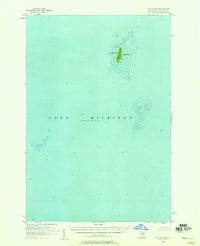
1955 · Gull Island
USGS Topo · 1:62,500
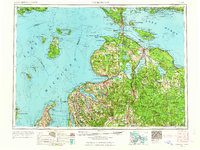
1955 · Cheboygan
USGS Topo · 1:250,000
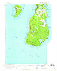
1956 · Beaver Island
USGS Topo · 1:62,500
1958 · Cheboygan
USGS Topo · 1:250,000
1980 · Garden Island West
USGS Topo · 1:24,000
1984 · Beaver Island
USGS Topo · 1:100,000
1986 · High Island
USGS Topo · 1:24,000
1986 · Gull Island
USGS Topo · 1:24,000
1986 · Beaver Island North
USGS Topo · 1:24,000
1986 · Beaver Island South
USGS Topo · 1:24,000