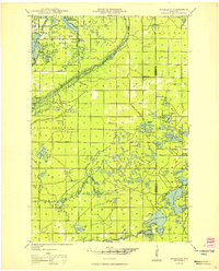
1949 Map of Highland
USGS Topo · Published 1949About this map
Lake Nebagamon anchors the northern reaches of this landscape, where the Brule River Forest creates a dense wooded corridor along the county line. The interior of the Highland and Solon Springs townships is defined by an intricate network of small glacial water bodies, from Whisky L and Coffee L in the north to Ellison Lake and Upper Ox L further south. Local infrastructure is sparse, concentrated around small rural institutions like the Frances Willard Sch and Volker Sch.
Find a feature on this map
61 named features on this map. Tap any name to fly to it.
Don’t see what you’re looking for? This feature index may not catch every label — zoom into the map to look around manually.
Map Details
Editions of this 1949 Highland Map
This is the sole edition of this map. No revisions or reprints were ever made.
Other maps of this area
1943 · Iron Lake
USGS Topo · 1:48,000
1944 · Drummond
USGS Topo · 1:48,000
1944 · Hayward
USGS Topo · 1:48,000
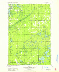
1945 · Highland
USGS Topo · 1:48,000
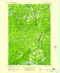
1945 · Solon Springs
USGS Topo · 1:48,000
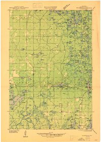
1947 · Drummond
USGS Topo · 1:48,000
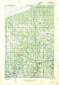
1947 · Brule
USGS Topo · 1:48,000
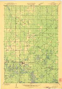
1947 · Iron Lake
USGS Topo · 1:48,000
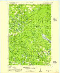
1947 · Chittamo
USGS Topo · 1:48,000
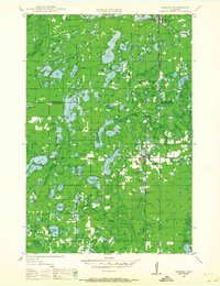
1947 · Minong
USGS Topo · 1:48,000