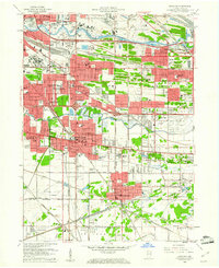
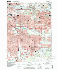
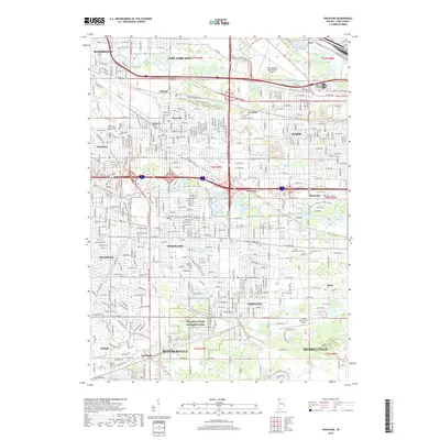
1959 Map of Highland
USGS Topo · Published 1961About this map
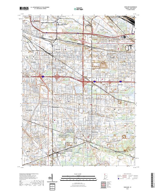
Highland, Griffith, and the sprawling industrial landscape of the Indiana Dunes region are captured during a period of intense mid-century growth. The map illustrates a dense network of transportation infrastructure, dominated by the Tri-State Highway and a labyrinth of rail lines including the Pennsylvania Railroad and the Elgin Joliet and Eastern Railway. The urban character is defined by established neighborhoods in East Chicago and Hammond, where numerous parochial schools like St Catherine of Siena Sch and Our Lady of Grace Sch stand as anchors for the local community.
Find a feature on this map
94 named features on this map. Tap any name to fly to it.
Don’t see what you’re looking for? This feature index may not catch every label — zoom into the map to look around manually.
Map Details
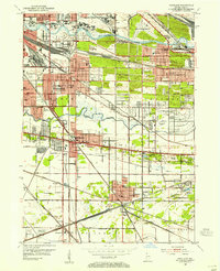
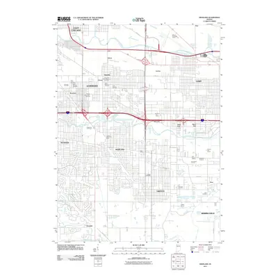
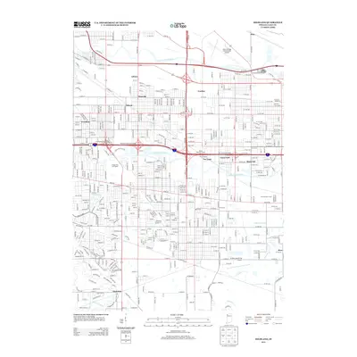
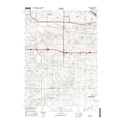
Editions of this 1959 Highland Map
This is the sole edition of this map. No revisions or reprints were ever made.
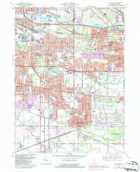
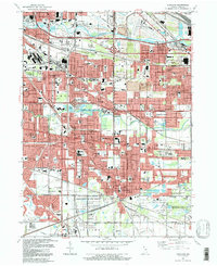
Historical Maps of Hammond Through Time
10 maps found
Featured Locations
- Schererville, IN
- Merrillville, Ross Township
- East Chicago, North Township
- Hammond, North Township
- Gary, Calumet Township