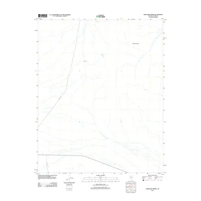
2012 Map of Highland Spring
USGS Topo · Published 2012About this map
The Highland Range dominates this landscape in southern Nevada, where water remains the defining element of survival and navigation. Located within Clark County, the map details the subtle presence of life in the desert, marked by essential water sources like Ora Hanna Spring, Highland Spring, and Cow Spring. These scattered water points serve as vital landmarks for both livestock and travelers in an area otherwise characterized by dry washes and high-altitude slopes. The human footprint is represented by Cow Camp and a limited network of desert tracks including Powerline Rd and 7 Mile Rd, reflecting the enduring ranching and utility patterns of the Great Basin. This 2012 survey provides a clear view of the drainage patterns and relief of the range, useful for understanding the hydrologic connections that have historically dictated movement and settlement across this arid terrain.
Find a feature on this map
7 named features on this map. Tap any name to fly to it.
Don’t see what you’re looking for? This feature index may not catch every label — zoom into the map to look around manually.
Map Details
Editions of this 2012 Highland Spring Map
This is the sole edition of this map. No revisions or reprints were ever made.
Other maps of this area
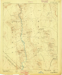
1886 · Camp Mohave
USGS Topo · 1:250,000
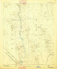
1892 · Camp Mohave
USGS Topo · 1:250,000

1910 · Ivanpah
USGS Topo · 1:250,000

1912 · Ivanpah
USGS Topo · 1:250,000
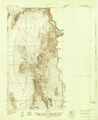
1926 · Nelson
USGS Topo · 1:96,000
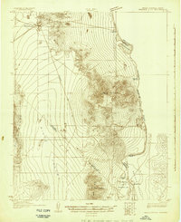
1926 · Mohave City
USGS Topo · 1:96,000
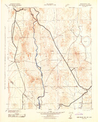
1942 · Camp Mohave
USGS Topo · 1:250,000

1942 · Ivanpah
USGS Topo · 1:250,000

1947 · Kingman
USGS Topo · 1:250,000

1948 · Kingman
USGS Topo · 1:250,000