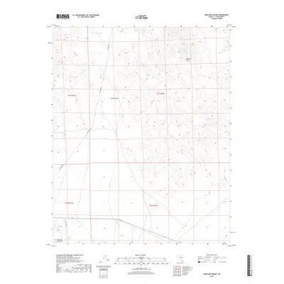
2018 Map of Highland Spring
USGS Topo · Published 2018About this map
The Highland Range dominates this portion of the Mojave Desert, where the arid landscape is punctuated by a handful of vital water sources. These include Highland Spring, Ora Hanna Spring, and Cow Spring, which likely served as critical landmarks for travelers and ranching interests in this corner of Clark County. The terrain is marked by significant elevation changes, ranging from the desert floor up into the southern reaches of the New York Mountains in the southwestern corner. Transportation through this remote section is limited to utility and access routes like Powerline Rd and Seven Mile Rd, illustrating the modern infrastructure that overlays this ancient geological landscape. The map provides a detailed view of the township and range grid system, specifically sections within T27S R61E and T28S R62E.
Find a feature on this map
12 named features on this map. Tap any name to fly to it.
Don’t see what you’re looking for? This feature index may not catch every label — zoom into the map to look around manually.
Map Details
Editions of this 2018 Highland Spring Map
This is the sole edition of this map. No revisions or reprints were ever made.
Other maps of this area
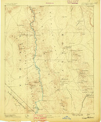
1886 · Camp Mohave
USGS Topo · 1:250,000
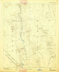
1892 · Camp Mohave
USGS Topo · 1:250,000

1910 · Ivanpah
USGS Topo · 1:250,000

1912 · Ivanpah
USGS Topo · 1:250,000
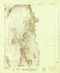
1926 · Nelson
USGS Topo · 1:96,000
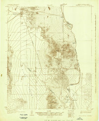
1926 · Mohave City
USGS Topo · 1:96,000
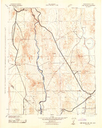
1942 · Camp Mohave
USGS Topo · 1:250,000

1942 · Ivanpah
USGS Topo · 1:250,000

1947 · Kingman
USGS Topo · 1:250,000

1948 · Kingman
USGS Topo · 1:250,000