Loading...
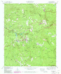
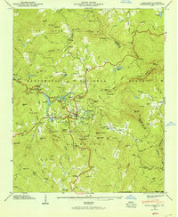
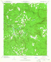
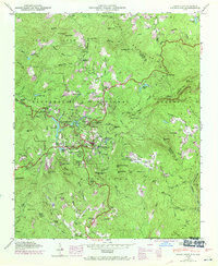
Loading map...1946 Map of Highlands
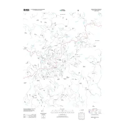
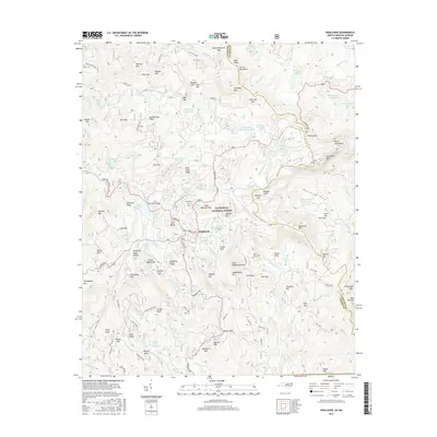
USGS Topo · Published 1980About this map
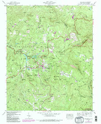
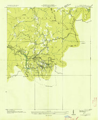
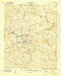
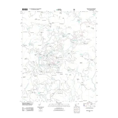
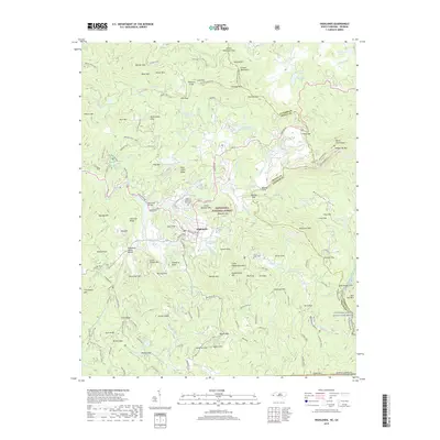
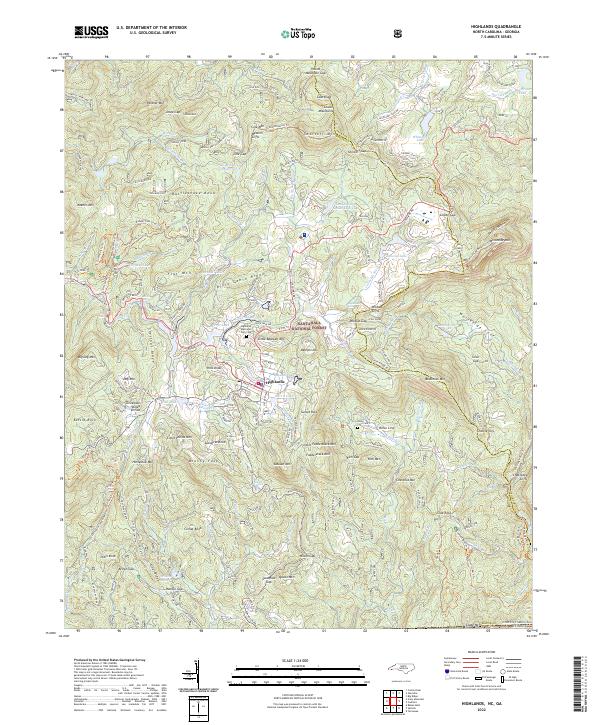
Highlands sits at the heart of this high-elevation mountain terrain within the Nantahala National Forest. The settlement pattern reflects the area's growth as a highland destination, featuring the Highlands Country Club and Golf Course, while maintain traditional roots through the Highlands Cem and Horse Cove Cem. The water-rich landscape is defined by the Cullasaja River, which feeds numerous landmarks including Bridal Veil Falls and Dry Falls, alongside the human-engineered Lake Sequoyah and Mirror Lake.
Find a feature on this map
124 named features on this map. Tap any name to fly to it.
Don’t see what you’re looking for? This feature index may not catch every label — zoom into the map to look around manually.
Map Details
Date Portrayed1946
Date Published1980
PublisherU.S. Geological Survey
Map TypeTopographic
Scale1:24,000
Physical Dimensions22 x 26.9 inches
Editions of this 1946 Highlands Map
5 editions found
Historical Maps of Highlands Through Time
8 maps found
Featured Locations
Source Details
SourceU.S. Geological Survey
CopyrightPublic Domain