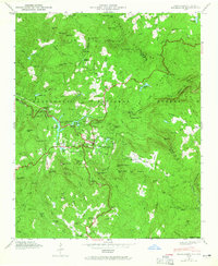
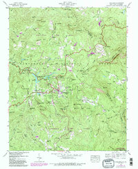
1946 Map of Highlands
USGS Topo · Published 1965About this map
Highlands sits at the heart of this post-war landscape, established as a high-elevation retreat within the Nantahala National Forest. The map documents the community's early mid-century infrastructure, including a Power Plant and Gaging Station along the Cullasaja River, and the Highlands Country Club near Mirror Lake. The surrounding terrain is marked by significant verticality, featuring landmarks such as Whiteside Mtn and the sheer Wildcat Cliffs.
Find a feature on this map
111 named features on this map. Tap any name to fly to it.
Don’t see what you’re looking for? This feature index may not catch every label — zoom into the map to look around manually.
Map Details
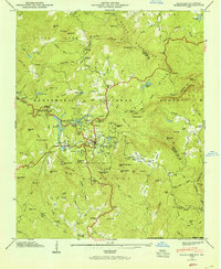
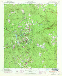
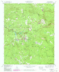
Editions of this 1946 Highlands Map
5 editions found
Other maps of this area

1886 · Walhalla
USGS Topo · 1:125,000

1891 · Cowee
USGS Topo · 1:125,000

1892 · Walhalla
USGS Topo · 1:125,000

1896 · Walhalla
USGS Topo · 1:125,000

1897 · Cowee
USGS Topo · 1:125,000

1907 · Cowee
USGS Topo · 1:125,000

1935 · Cashiers
USGS Topo · 1:24,000

1935 · Scaly
USGS Topo · 1:24,000

1935 · Rabun Bald
USGS Topo · 1:24,000

1935 · Glenville
USGS Topo · 1:24,000