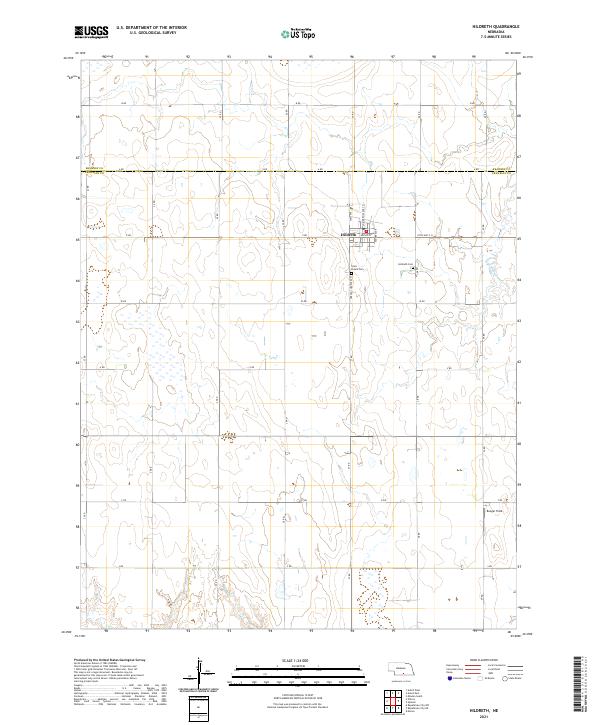
1970 Map of Hildreth
USGS Topo · Published 1972About this map
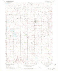
The town of Hildreth serves as the primary hub of this south-central Nebraska landscape, where the agricultural grid meets the transit lines of the Burlington Northern railroad. The geography is characterized by the steady drainage of Thompson Creek and its West Branch Thompson Creek in the north, while the southern sections are marked by the headwaters of Center Creek. Local history is anchored by several rural landmarks, including St Peters Cem and Emmanuel Ch, which reflect the community life of the surrounding Salem and Macon townships.
Find a feature on this map
20 named features on this map. Tap any name to fly to it.
Don’t see what you’re looking for? This feature index may not catch every label — zoom into the map to look around manually.
Map Details
Editions of this 1970 Hildreth Map
This is the sole edition of this map. No revisions or reprints were ever made.
Historical Maps of Hildreth Through Time
5 maps found