Loading...
Loading map...2022 Map of Hills
USGS Topo · Published 2022About this map
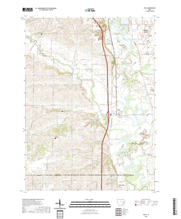
Hills and the northern reaches of Riverside sit along the winding Iowa River valley south of Iowa City. This landscape is defined by the complex drainage systems of Old Mans Creek and several tributaries including Dirty Face Cr and Picayune Cr, which cut through the agricultural uplands. The region is notable for its numerous rural burial grounds, such as Welsh Cem in the northwest and Saint Stanislaus Cem further south, reflecting the area's early settlement history.
Find a feature on this map
80 named features on this map. Tap any name to fly to it.
Don’t see what you’re looking for? This feature index may not catch every label — zoom into the map to look around manually.
Map Details
Date Portrayed2022
Date Published2022
PublisherU.S. Geological Survey
Map TypeTopographic
Scale1:24000
Physical Dimensions24 x 29 inches
Editions of this 2022 Hills Map
This is the sole edition of this map. No revisions or reprints were ever made.
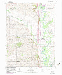
Historical Maps of West Lucas Township Through Time
Featured Locations
Source Details
SourceU.S. Geological Survey
CopyrightPublic Domain