Loading...
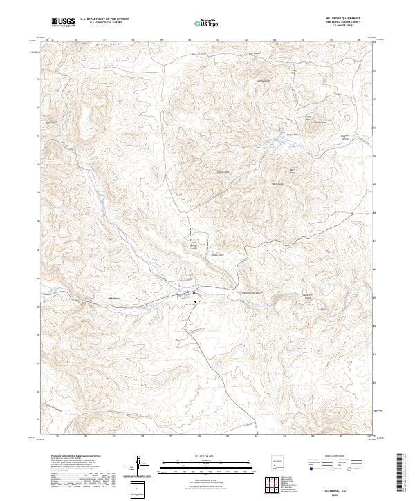
Loading map...2023 Map of Hillsboro
USGS Topo · Published 2023About this map
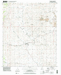
Hillsboro occupies a prominent position in this modern landscape, situated where the high desert meets the drainages of Percha Creek and North Percha Creek. The town is the central hub for local history, with its residential streets like Elenore St and the Hillsboro Cem reflecting generations of settlement in Sierra County. The surrounding terrain is defined by dramatic peaks and mining-era landmarks, including Animas Peak, Empire Peak, and the notable basin at Copper Flat.
Find a feature on this map
34 named features on this map. Tap any name to fly to it.
Don’t see what you’re looking for? This feature index may not catch every label — zoom into the map to look around manually.
Map Details
Date Portrayed2023
Date Published2023
PublisherU.S. Geological Survey
Map TypeTopographic
Scale1:24000
Physical Dimensions24 x 29 inches
Editions of this 2023 Hillsboro Map
This is the sole edition of this map. No revisions or reprints were ever made.
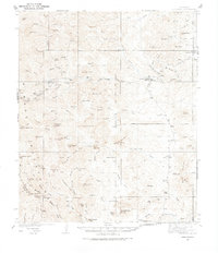
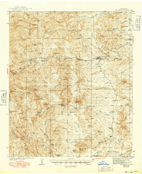
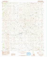
Historical Maps of Hillsboro Through Time
5 maps found
Featured Locations
Source Details
SourceU.S. Geological Survey
CopyrightPublic Domain