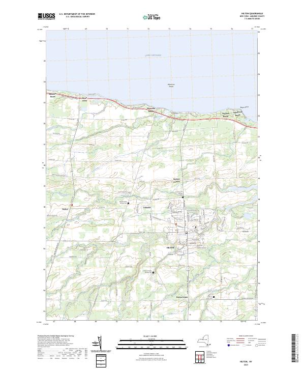
2023 Map of Hilton
USGS Topo · Published 2023About this map
Hilton and the surrounding agricultural landscape of Monroe County are defined by a network of creeks flowing north toward Lake Ontario. The village serves as a central hub for smaller outlying settlements like Collamer and Parma Center, connected by a grid of rural roads such as Burritt Rd and Church Rd. Along the shoreline, a string of lakeside communities including Shore Acres, Wautoma Beach, and Lighthouse Beach sit tucked between the Lake Ontario State Pkwy and the water.
Find a feature on this map
97 named features on this map. Tap any name to fly to it.
Don’t see what you’re looking for? This feature index may not catch every label — zoom into the map to look around manually.
Map Details
Editions of this 2023 Hilton Map
This is the sole edition of this map. No revisions or reprints were ever made.
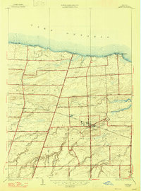
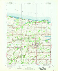
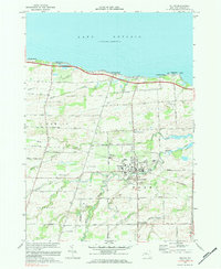
Historical Maps of Monroe County Through Time
4 maps found