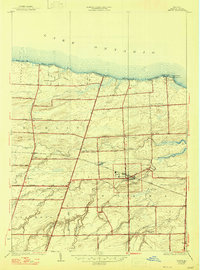
1934 Map of Hilton
USGS Topo · Published 1947About this map
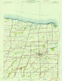
The agricultural landscape of northern Monroe County meets the shore of Lake Ontario in this pre-war survey. The village of Hilton serves as the inland anchor, situated at the junction of the New York Central Railroad and several prominent local arteries. The surrounding countryside is defined by a dense network of district schools and small hamlets, including Collamer and Parma Center. Along the lakefront, a series of seasonal and permanent settlements such as Shore Acres, Wautoma Beach, and Lighthouse Beach illustrate the early 20th-century development of the waterfront.
Find a feature on this map
61 named features on this map. Tap any name to fly to it.
Don’t see what you’re looking for? This feature index may not catch every label — zoom into the map to look around manually.
Map Details
Editions of this 1934 Hilton Map
2 editions found
Other maps of this area

1895 · Rochester
USGS Topo · 1:62,500

1895 · Ontario Beach
USGS Topo · 1:62,500

1898 · Rochester
USGS Topo · 1:62,500

1899 · Hamlin
USGS Topo · 1:62,500

1899 · Ontario Beach
USGS Topo · 1:62,500

1899 · Brockport
USGS Topo · 1:62,500

1912 · Rochester
USGS Topo · 1:62,500

1912 · Ontario Beach
USGS Topo · 1:62,500

1920 · Rochester
USGS Topo · 1:62,500

1931 · Rochester West
USGS Topo · 1:24,000