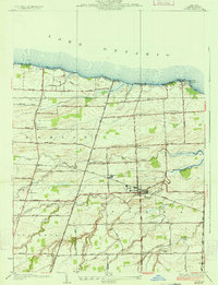
1934 Map of Hilton
USGS Topo · Published 1934About this map
Salmon Creek and West Creek wind through this coastal landscape of Monroe County, defining a region where fertile agricultural plains meet the southern shore of Lake Ontario. In the early 1930s, the village of Hilton serves as the central hub, surrounded by a network of smaller rural communities like Collamer and Parma Center. The layout of the land is heavily influenced by the local education system of the era, with numerous numbered schoolhouses—such as School No 12 and School No 5—positioned at critical crossroads to serve the farming families. Along the lakefront, a string of seasonal destinations including Wautoma Beach and Lighthouse Beach highlights the area's dual character as both a productive orchard and dairy heartland and a burgeoning summer retreat. Inland, family-named landmarks like Bartlett Corners and specialized sites like the Parma Union Cem provide specific points of interest for those tracing local lineages.
Find a feature on this map
69 named features on this map. Tap any name to fly to it.
Don’t see what you’re looking for? This feature index may not catch every label — zoom into the map to look around manually.
Map Details
Editions of this 1934 Hilton Map
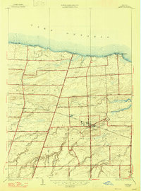
2 editions found
Other maps of this area

1895 · Rochester
USGS Topo · 1:62,500

1895 · Ontario Beach
USGS Topo · 1:62,500

1898 · Rochester
USGS Topo · 1:62,500

1899 · Hamlin
USGS Topo · 1:62,500

1899 · Ontario Beach
USGS Topo · 1:62,500

1899 · Brockport
USGS Topo · 1:62,500

1912 · Rochester
USGS Topo · 1:62,500

1912 · Ontario Beach
USGS Topo · 1:62,500

1920 · Rochester
USGS Topo · 1:62,500

1931 · Rochester West
USGS Topo · 1:24,000