2024 Map of Hinckley
USGS Topo · Published 2024About this map
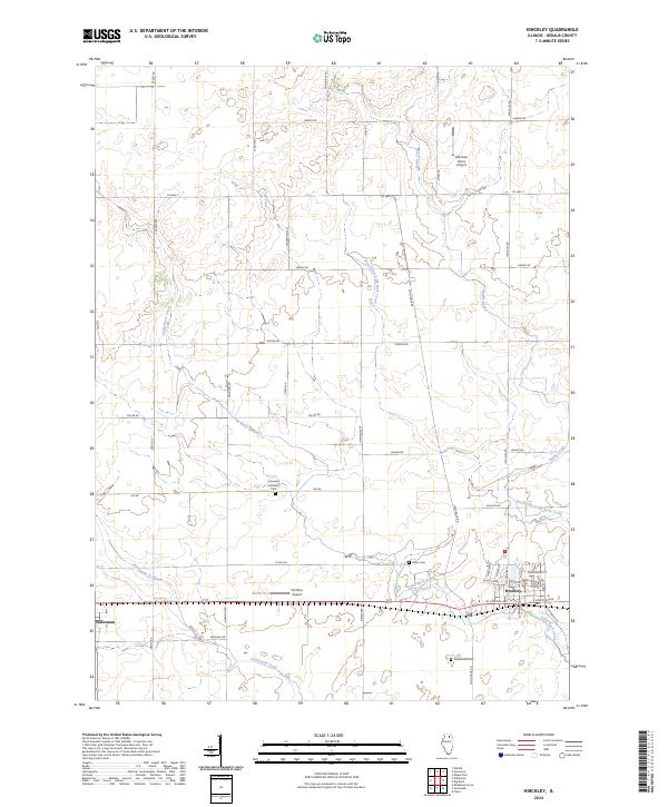
Hinckley and Waterman anchor this modern topographical study of DeKalb County, Illinois, situated at the intersection of long-standing agricultural tradition and specialized local aviation. The landscape is defined by the headwaters and meandering courses of several vital tributaries, including Little Rock Creek, Somonauk Creek, and the West Branch Big Rock Creek. These waterways dictate the local geography, weaving between a grid of rural roads like Duffy Rd and Lasher Rd. For genealogists and local historians, several burial grounds are preserved on the sheet, including the Immanuel Lutheran Cem, Miller Cem, and Greenwood Cem. The presence of small-scale aviation facilities such as Hinckley Airport and Marshall Farms Airport suggests a persistent connection between the farming community and the skies above the Illinois prairie.
Find a feature on this map
44 named features on this map. Tap any name to fly to it.
Don’t see what you’re looking for? This feature index may not catch every label — zoom into the map to look around manually.
Map Details
Editions of this 2024 Hinckley Map
This is the sole edition of this map. No revisions or reprints were ever made.
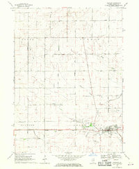
Historical Maps of Pierce Township Through Time
Featured Locations
- Afton Township, IL
- Clinton Township, IL
- Pierce Township, IL
- Waterman, Clinton Township
- Hinckley, Squaw Grove Township