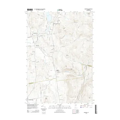
2015 Map of Hinesburg
USGS Topo · Published 2015About this map
The La Platte River valley defines the character of this Vermont landscape, where the town of Hinesburg serves as a central hub. Just north, the village of Mechanicsville is positioned near High Rock and Mt Pritchard, while the waters of Lake Iroquois and Lower Pond dominate the northern drainage. This topography reveals a complex network of upland hills and mountains, including Texas Hill and Hogback Mtn, which separate the river valleys.
Find a feature on this map
109 named features on this map. Tap any name to fly to it.
Don’t see what you’re looking for? This feature index may not catch every label — zoom into the map to look around manually.
Map Details
Editions of this 2015 Hinesburg Map
This is the sole edition of this map. No revisions or reprints were ever made.
Other maps of this area

1903 · Middlebury
USGS Topo · 1:62,500

1905 · Middlebury
USGS Topo · 1:62,500

1906 · Burlington
USGS Topo · 1:62,500

1919 · Burlington
USGS Topo · 1:62,500

1919 · Lincoln Mountain
USGS Topo · 1:62,500

1920 · Lincoln Mountain
USGS Topo · 1:48,000

1920 · Middlebury
USGS Topo · 1:62,500

1921 · Richmond
USGS Topo · 1:48,000

1921 · Lincoln Mountain
USGS Topo · 1:62,500

1924 · Camels Hump
USGS Topo · 1:62,500