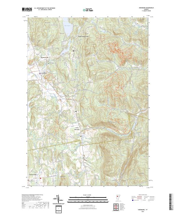
2024 Map of Hinesburg
USGS Topo · Published 2024About this map
The Green Mountains dominate the eastern reaches of this landscape, where a modern network of trails like Darth Vader and Rogue-One wind through the hillsides near Texas Hill Rd. In the valley below, the village of Hinesburg serves as a central hub, flanked by historic clusters at Mechanicsville and South Hinesburg. The terrain is defined by its water systems, from the expansive Lake Iroquois in the north to the winding course of the La Platte River and Lewis Creek, which flows south toward the border with Addison Co.
Find a feature on this map
143 named features on this map. Tap any name to fly to it.
Don’t see what you’re looking for? This feature index may not catch every label — zoom into the map to look around manually.
Map Details
Editions of this 2024 Hinesburg Map
This is the sole edition of this map. No revisions or reprints were ever made.
Other maps of this area

1903 · Middlebury
USGS Topo · 1:62,500

1905 · Middlebury
USGS Topo · 1:62,500

1906 · Burlington
USGS Topo · 1:62,500

1919 · Burlington
USGS Topo · 1:62,500

1919 · Lincoln Mountain
USGS Topo · 1:62,500

1920 · Lincoln Mountain
USGS Topo · 1:48,000

1920 · Middlebury
USGS Topo · 1:62,500

1921 · Richmond
USGS Topo · 1:48,000

1921 · Lincoln Mountain
USGS Topo · 1:62,500

1924 · Camels Hump
USGS Topo · 1:62,500