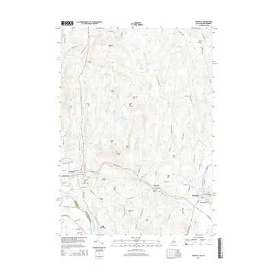
2015 Map of Hinsdale
USGS Topo · Published 2015About this map
The Ashuelot River carves a winding path through Cheshire County, anchoring the settlements of Hinsdale, Ashuelot, and Winchester during this 2015 survey. The landscape is defined by the Pisgah Mtn Range, which contains a high concentration of water bodies such as Pisgah Reservoir, Fullam Pond, and Kilburn Pond. This region reflects a blend of early industrial river sites and preserved upland terrain.
Find a feature on this map
110 named features on this map. Tap any name to fly to it.
Don’t see what you’re looking for? This feature index may not catch every label — zoom into the map to look around manually.
Map Details
Editions of this 2015 Hinsdale Map
This is the sole edition of this map. No revisions or reprints were ever made.
Other maps of this area

1887 · Warwick
USGS Topo · 1:62,500

1889 · Warwick
USGS Topo · 1:62,500

1890 · Greenfield
USGS Topo · 1:62,500

1891 · Brattleboro
USGS Topo · 1:62,500

1893 · Brattleboro
USGS Topo · 1:62,500

1894 · Greenfield
USGS Topo · 1:62,500

1894 · Warwick
USGS Topo · 1:62,500

1898 · Keene
USGS Topo · 1:62,500

1932 · Brattleboro
USGS Topo · 1:48,000

1932 · Warwick
USGS Topo · 1:48,000