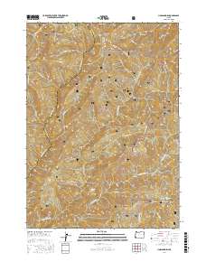
2017 Map of Hobson Horn
USGS Topo · Published 2017About this map
Siskiyou National Forest land defines this section of the Klamath Mountains, where the drainage networks of the Rogue River watershed create a complex system of ridges and canyons. The namesake Hobson Horn stands as a prominent topographical point overlooking a dense web of waterways including Breezy Cr, Bunker Cr, and the various branches of Indigo Cr. Transportation through this steep terrain is primarily limited to forest development routes and administrative roads, most notably the winding Bear Camp Rd and Nat For Dev Rd 2308 along the Bear Camp Ridge. The map reveals the remote character of the Josephine and Curry county line, where features like Montana Spring and Browns Gulch provide specific landmarks for those navigating the backcountry. This 2017 survey details the hydrological patterns of Shasta Costa Cr and N Fork Silver Cr, illustrating the area's role as a protected wilderness resource.
Find a feature on this map
35 named features on this map. Tap any name to fly to it.
Don’t see what you’re looking for? This feature index may not catch every label — zoom into the map to look around manually.
Map Details
Editions of this 2017 Hobson Horn Map
This is the sole edition of this map. No revisions or reprints were ever made.
Other maps of this area

1917 · Kerby
USGS Topo · 1:125,000

1918 · Kerby
USGS Topo · 1:125,000

1945 · Kerby
USGS Topo · 1:125,000

1946 · Galice
USGS Topo · 1:62,500

1948 · Galice
USGS Topo · 1:62,500

1954 · Marial
USGS Topo · 1:62,500

1954 · Selma
USGS Topo · 1:62,500

1954 · Pearsoll Peak
USGS Topo · 1:62,500

1955 · Medford
USGS Topo · 1:250,000

1957 · Medford
USGS Topo · 1:250,000