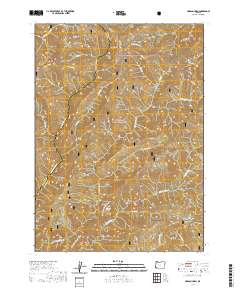
2020 Map of Hobson Horn
USGS Topo · Published 2020About this map
Siskiyou National Forest land dominates this high-elevation stretch of the Klamath Mountains, where the drainage divide between the Rogue and Illinois River basins is clearly defined. High points like Hobson Horn and the long spine of Bear Camp Ridge serve as anchors for a network of forest service roads and recreational routes, most notably the Silver Peak - Hobson Horn Trail that traverses the southern half of the quadrangle. The terrain is deeply dissected by numerous watercourses, including Shasta Costa Cr in the northwest and the upper reaches of W Fork Indigo Cr and E Fork Indigo Cr. The presence of Montana Spring and several named gulches like Browns Gulch suggests a landscape historically utilized for its natural water sources and timber access, with the Galice Access Rd - BLM providing the primary transit corridor through this forested backcountry.
Find a feature on this map
30 named features on this map. Tap any name to fly to it.
Don’t see what you’re looking for? This feature index may not catch every label — zoom into the map to look around manually.
Map Details
Editions of this 2020 Hobson Horn Map
This is the sole edition of this map. No revisions or reprints were ever made.
Other maps of this area

1917 · Kerby
USGS Topo · 1:125,000

1918 · Kerby
USGS Topo · 1:125,000

1945 · Kerby
USGS Topo · 1:125,000

1946 · Galice
USGS Topo · 1:62,500

1948 · Galice
USGS Topo · 1:62,500

1954 · Marial
USGS Topo · 1:62,500

1954 · Selma
USGS Topo · 1:62,500

1954 · Pearsoll Peak
USGS Topo · 1:62,500

1955 · Medford
USGS Topo · 1:250,000

1957 · Medford
USGS Topo · 1:250,000