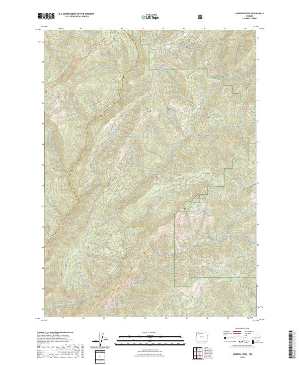
2024 Map of Hobson Horn
USGS Topo · Published 2024About this map
Siskiyou National Forest covers much of this high-elevation landscape on the border of Curry and Josephine counties. The topography is defined by significant drainages and ridgelines, notably Bear Camp Ridge and the prominent peak of Hobson Horn. This modern survey details a complex network of forest management and recreation, including the Galice Access Rd - BLM and the Silver Peak - Hobson Horn Trail Trl. The protection of the watershed is central here, as evidenced by the North Fork Silver Creek Wild and Scenic River. Numerous tributaries feed into larger systems, including West Fork Indigo Creek and Shasta Costa Creek. These waterways and trails reflect a landscape dedicated to preservation and forestry within the Klamath Mountains region.
Find a feature on this map
30 named features on this map. Tap any name to fly to it.
Don’t see what you’re looking for? This feature index may not catch every label — zoom into the map to look around manually.
Map Details
Editions of this 2024 Hobson Horn Map
This is the sole edition of this map. No revisions or reprints were ever made.
Other maps of this area

1917 · Kerby
USGS Topo · 1:125,000

1918 · Kerby
USGS Topo · 1:125,000

1945 · Kerby
USGS Topo · 1:125,000

1946 · Galice
USGS Topo · 1:62,500

1948 · Galice
USGS Topo · 1:62,500

1954 · Marial
USGS Topo · 1:62,500

1954 · Selma
USGS Topo · 1:62,500

1954 · Pearsoll Peak
USGS Topo · 1:62,500

1955 · Medford
USGS Topo · 1:250,000

1957 · Medford
USGS Topo · 1:250,000