Loading...
Loading map...2022 Map of Hodgen
USGS Topo · Published 2022About this map
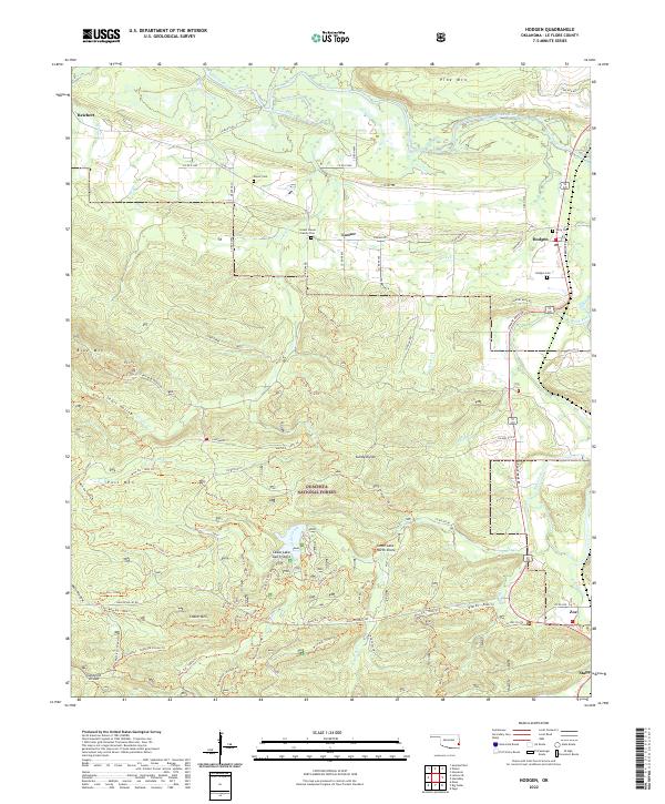
Ouachita National Forest dominates this landscape in Le Flore County, where the valley of the Poteau River meets the northern foothills of the Winding Stair Mountains. The settlement of Hodgen serves as a local hub, situated near the confluence of Rock Cr and the Black Fork river. This 2022 survey illustrates the enduring rural character of the region, anchored by established family landmarks such as the Conser House Family Cem and the Naylor Cem.
Find a feature on this map
59 named features on this map. Tap any name to fly to it.
Don’t see what you’re looking for? This feature index may not catch every label — zoom into the map to look around manually.
Map Details
Date Portrayed2022
Date Published2022
PublisherU.S. Geological Survey
Map TypeTopographic
Scale1:24000
Physical Dimensions24 x 29 inches
Editions of this 2022 Hodgen Map
This is the sole edition of this map. No revisions or reprints were ever made.
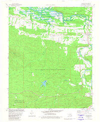
Historical Maps of Zoe Through Time
Featured Locations
Source Details
SourceU.S. Geological Survey
CopyrightPublic Domain