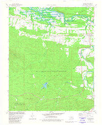
1981 Map of Hodgen
USGS Topo · Published 1982About this map
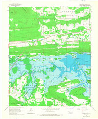
Ouachita National Forest blankets the southern half of this Oklahoma landscape, where the rugged topography of Blue Mountain and Snake Mountain transitions into the valley of the Poteau River. The small community of Hodgen, also known as Hodgens Station, serves as a focal point for the Kansas City Southern railroad line that follows the Black Fork north. Local history is anchored by several family and community landmarks, including Perry Chapel and a series of burial grounds such as Naylor Cem, Conser Cem, and Perry Cem. The map illustrates a rural economy of small settlements like Conser and Reichert connected by the Holson Valley Road, while recreational areas around Cedar Lake and its Campground reflect the area's development within the Holson Valley State Game Management Area.
Find a feature on this map
42 named features on this map. Tap any name to fly to it.
Don’t see what you’re looking for? This feature index may not catch every label — zoom into the map to look around manually.
Map Details
Editions of this 1981 Hodgen Map
This is the sole edition of this map. No revisions or reprints were ever made.
Other maps of this area

1900 · Winding Stair
USGS Topo · 1:125,000
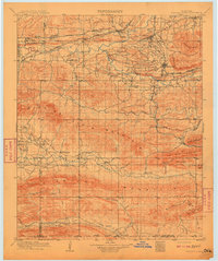
1909 · Winding Stair
USGS Topo · 1:125,000

1950 · Mcalester
USGS Topo · 1:250,000
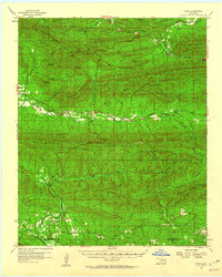
1959 · Page
USGS Topo · 1:62,500
1959 · Heavener
USGS Topo · 1:62,500

1962 · McAlester
USGS Topo · 1:250,000

1965 · McAlester
USGS Topo · 1:250,000
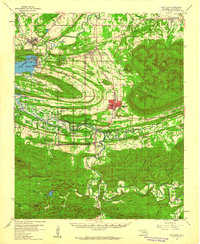
1965 · Summerfield
USGS Topo · 1:24,000
1966 · Muse
USGS Topo · 1:24,000
1966 · Leflore SE
USGS Topo · 1:24,000