
1959 Map of Page
USGS Topo · Published 1960About this map
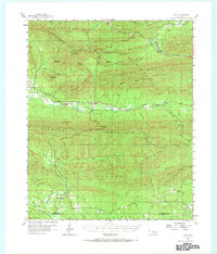
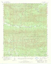
The Kiamichi River valley defines the center of this region, carved between the massive ridges of Rich Mountain and Kiamichi Mountain. In the late 1950s, small settlements like Big Cedar and Octavia served as local hubs amidst a landscape dominated by timbered heights and complex drainage systems. The northern portion of the map highlights the transit corridor of the Kansas City Southern railroad, which snakes through the pass near Page, while the southern reaches near the border of Le Flore and McCurtain counties are marked by the headwaters of Big Eagle Creek. Local community life is grounded at sites like New Home Ch and a nearby Cem, reflecting the scattered pattern of rural homesteads. This survey records a moment when the rugged Ouachita terrain dictated the path of every road and rail line, from the high elevation of Quentin Peak to the river flats.
Find a feature on this map
41 named features on this map. Tap any name to fly to it.
Don’t see what you’re looking for? This feature index may not catch every label — zoom into the map to look around manually.
Map Details
Editions of this 1959 Page Map
3 editions found
Other maps of this area

1887 · Poteau Mountain #2
USGS Topo · 1:62,500

1890 · Poteau Mountain
USGS Topo · 1:125,000

1899 · Poteau Mountain
USGS Topo · 1:125,000

1900 · Winding Stair
USGS Topo · 1:125,000

1902 · Lukfata
USGS Topo · 1:125,000

1909 · Winding Stair
USGS Topo · 1:125,000

1913 · De Queen
USGS Topo · 1:125,000

1950 · Mcalester
USGS Topo · 1:250,000
1958 · Loving
USGS Topo · 1:24,000
1958 · Bates
USGS Topo · 1:62,500