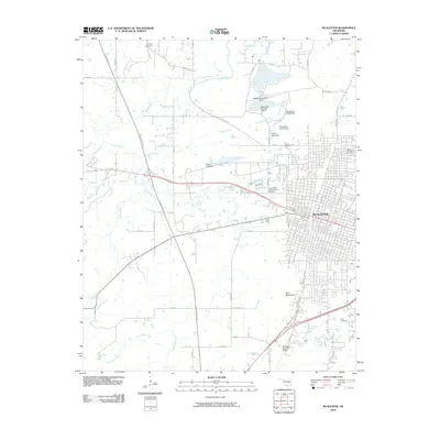
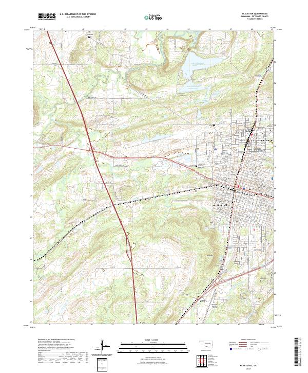
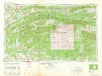
1962 Map of McAlester
USGS Topo · Published 1962About this map
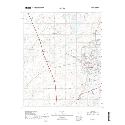
McAlester and the surrounding coal-mining communities of Krebs, Alderson, and Haileyville anchor the western portion of this 1962 landscape, which was compiled from data dating back to the late 19th century. The region is defined by the significant ridges of the Kiamichi Mountains and Winding Stair Mountain, much of which is protected within the Ouachita National Forest. This era shows a complex transportation network where the Indian Nation Turnpike intersects with long-established rail lines like the Kansas City Southern RR and the Chicago Rock Island and Pacific RR. To the north, the footprint of Eufaula Lake is visible, while the southern reaches follow the Red River and Little River through the timber-rich lands of McCurtain County. The map provides a detailed view of the terrain before later decades of development further altered these mountain corridors.
Find a feature on this map
90 named features on this map. Tap any name to fly to it.
Don’t see what you’re looking for? This feature index may not catch every label — zoom into the map to look around manually.
Map Details
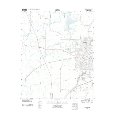
Editions of this 1962 McAlester Map
2 editions found
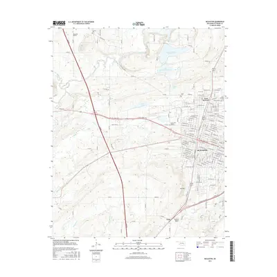
Historical Maps of McAlester Through Time
7 maps found