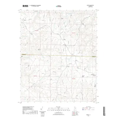
2018 Map of Hodges
USGS Topo · Published 2018About this map
Hodges and the surrounding hills of the Alabama-Mississippi borderlands define this 2018 survey. The landscape is deeply carved by water, with the Tennessee Valley Divide cutting across the southern portion of the quadrangle. North of the divide, numerous branches like Steep Hollow Br and McCluskey Spring Br feed into the Bear Creek drainage, while south of the line, the terrain slopes toward the Bull Mountain Cr system. Small-scale agricultural patterns and timberland are interconnected by a dense network of county roads such as Co RD 45 and Co RD 18.
Find a feature on this map
134 named features on this map. Tap any name to fly to it.
Don’t see what you’re looking for? This feature index may not catch every label — zoom into the map to look around manually.
Map Details
Editions of this 2018 Hodges Map
This is the sole edition of this map. No revisions or reprints were ever made.
Other maps of this area

1936 · Hodges
USGS Topo · 1:24,000

1936 · Isbell
USGS Topo · 1:24,000

1936 · South Of Hackleburg
USGS Topo · 1:24,000

1936 · Hackleburg
USGS Topo · 1:24,000

1936 · Vina
USGS Topo · 1:24,000

1936 · Halltown
USGS Topo · 1:24,000

1936 · Guinn Cross Roads
USGS Topo · 1:24,000
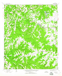
1945 · Isbell
USGS Topo · 1:24,000

1946 · Hackleburg
USGS Topo · 1:24,000
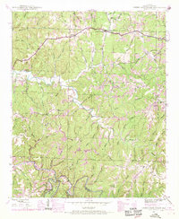
1946 · Guinn Cross Roads
USGS Topo · 1:24,000