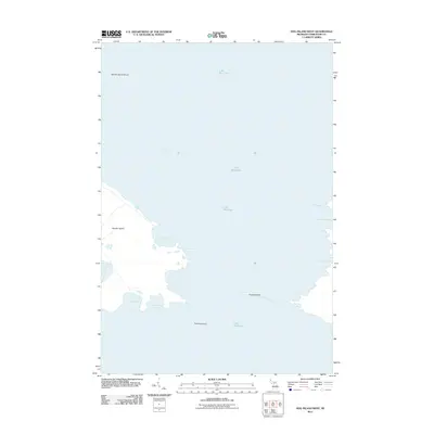
2011 Map of Hog Island West
USGS Topo · Published 2011About this map
Garden Island and its surrounding archipelago dominate this maritime survey of the northern reaches of Lake Michigan. The map details a complex shoreline defined by sheltered coves and inlets, including Jensen Harbor, Larsen Harbor, and the wide opening of Sturgeon Bay. To the south and east, smaller landmasses like Pismire Island and Grape Island sit within the vast waters, marking hazards and landmarks for those navigating the Mackinac Channel. The chart captures the intricate relationship between land and water in this island chain, showing deep-water approaches at Garden Island Harbor and the remote eastern reaches of Fisherman Bay. The absence of developed roads or settlements highlights the isolation of these islands, preserving a snapshot of the archipelago's natural geography and maritime significance.
Find a feature on this map
14 named features on this map. Tap any name to fly to it.
Don’t see what you’re looking for? This feature index may not catch every label — zoom into the map to look around manually.
Map Details
Editions of this 2011 Hog Island West Map
This is the sole edition of this map. No revisions or reprints were ever made.
Other maps of this area

1955 · Hog Island
USGS Topo · 1:62,500

1955 · Cheboygan
USGS Topo · 1:250,000

1956 · Beaver Island
USGS Topo · 1:62,500

1958 · Cheboygan
USGS Topo · 1:250,000
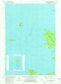
1980 · Garden Island West
USGS Topo · 1:24,000

1984 · Beaver Island
USGS Topo · 1:100,000

1986 · Beaver Island North
USGS Topo · 1:24,000
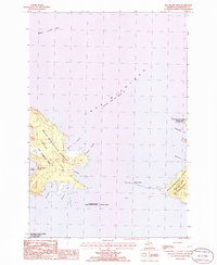
1986 · Hog Island West
USGS Topo · 1:24,000
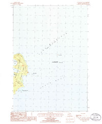
1986 · Hog Island East
USGS Topo · 1:24,000

2011 · Beaver Island North OE E
USGS Topo · 1:24,000