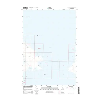
2014 Map of Hog Island West
USGS Topo · Published 2014About this map
Garden Island and Hog Island dominate this northern Lake Michigan archipelago, revealing a landscape defined by intricate shorelines and secluded harbors. This 2014 survey captures the islands in their modern state, documenting the primitive road networks like Beaver Island-Garden and Millkine Rd that traverse the interior of Garden Island. The surrounding waters of Lake Michigan are characterized by shallow hazards such as Garden Island Shoal and numerous protected inlets, including Larsen Harbor and Sturgeon Bay. Smaller landforms like Grape Island and Pismire Island dot the passage between the larger islands. The map provides a clear look at the Public Land Survey System boundaries, showing how sections were partitioned across these remote landmasses. This record is essential for understanding the maritime geography and terrestrial accessibility of these Charlevoix County islands in the early 21st century.
Find a feature on this map
22 named features on this map. Tap any name to fly to it.
Don’t see what you’re looking for? This feature index may not catch every label — zoom into the map to look around manually.
Map Details
Editions of this 2014 Hog Island West Map
This is the sole edition of this map. No revisions or reprints were ever made.
Other maps of this area

1955 · Hog Island
USGS Topo · 1:62,500

1955 · Cheboygan
USGS Topo · 1:250,000

1956 · Beaver Island
USGS Topo · 1:62,500

1958 · Cheboygan
USGS Topo · 1:250,000
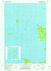
1980 · Garden Island West
USGS Topo · 1:24,000

1984 · Beaver Island
USGS Topo · 1:100,000

1986 · Beaver Island North
USGS Topo · 1:24,000
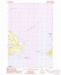
1986 · Hog Island West
USGS Topo · 1:24,000
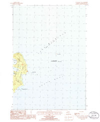
1986 · Hog Island East
USGS Topo · 1:24,000

2011 · Beaver Island North OE E
USGS Topo · 1:24,000