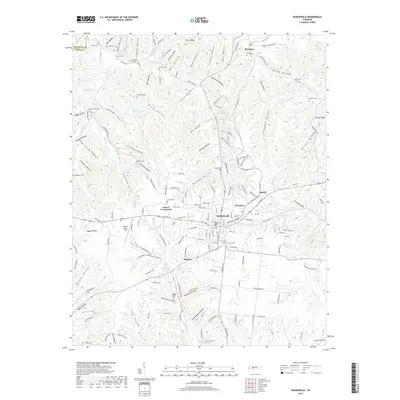
2019 Map of Hohenwald
USGS Topo · Published 2019About this map
Hohenwald serves as the focal point of this Lewis County landscape, where the intersection of local routes at Lomax Crossroads and the rail-aligned community of Kimmins define the regional settlement pattern. The terrain is deeply inscribed by a dense network of hollows, such as Brown Hollow, Stillhouse Hollow, and Norman Hollow, which have historically dictated the placement of homesteads and small family burial grounds. Dozens of these small cemeteries, including Swiss Cem, Lomax Cem, and the O'Guin Cem near Kimmins, are scattered across the ridges and valley floors, offering significant data for genealogical research. To the west, John A Baker Field provides a break in the corrugated topography of the Highland Rim, while water features like Highland Lake and the various forks of Cane Creek drain the surrounding timbered uplands.
Find a feature on this map
186 named features on this map. Tap any name to fly to it.
Don’t see what you’re looking for? This feature index may not catch every label — zoom into the map to look around manually.
Map Details
Editions of this 2019 Hohenwald Map
This is the sole edition of this map. No revisions or reprints were ever made.
Other maps of this area

1901 · Colombia
USGS Topo · 1:125,000

1905 · Waynesboro
USGS Topo · 1:125,000

1936 · Riverside
USGS Topo · 1:24,000

1936 · Graves Spring
USGS Topo · 1:24,000

1936 · Pleasantville
USGS Topo · 1:24,000

1936 · Beaverdam Springs
USGS Topo · 1:24,000

1936 · Henryville
USGS Topo · 1:24,000

1936 · Sunrise
USGS Topo · 1:24,000

1936 · Kimmins
USGS Topo · 1:24,000

1936 · Topsy
USGS Topo · 1:24,000