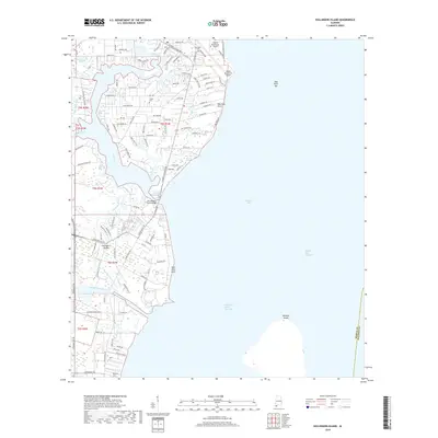
2018 Map of Hollingers Island
USGS Topo · Published 2018About this map
Hollingers Island and the western shore of Mobile Bay define this coastal landscape, where residential developments meet the maritime infrastructure of the Mobile Ship Channel. The map details the intricate network of water bodies feeding the bay, including the winding Dog River, Perch Creek, and the Middle Fork Deer River. This area is shaped by its transition from the urban reach of the Mobile Downtown Airport to the marshy bayous and islands further south.
Find a feature on this map
109 named features on this map. Tap any name to fly to it.
Don’t see what you’re looking for? This feature index may not catch every label — zoom into the map to look around manually.
Map Details
Editions of this 2018 Hollingers Island Map
This is the sole edition of this map. No revisions or reprints were ever made.
Other maps of this area

1921 · Point Clear
USGS Topo · 1:62,500

1921 · Fairhope
USGS Topo · 1:62,500

1921 · Delchamps
USGS Topo · 1:62,500

1922 · Mobile
USGS Topo · 1:62,500

1939 · Daphne
USGS Topo · 1:31,680

1940 · Hollingers Island
USGS Topo · 1:31,680

1940 · Mobile
USGS Topo · 1:31,680

1940 · Mobile
USGS Topo · 1:62,500

1941 · Daphne
USGS Topo · 1:31,680

1941 · Cedar Point
USGS Topo · 1:62,500