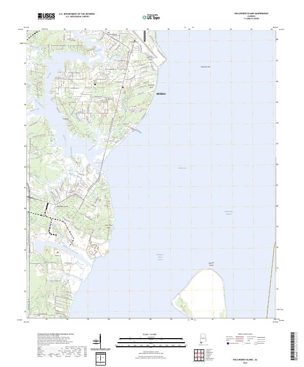
2024 Map of Hollingers Island
USGS Topo · Published 2024About this map
Mobile Bay dominates the eastern half of this coastal survey, where the Mobile Ship Channel and Hollingers Island Channel facilitate maritime traffic. The western shoreline is defined by a complex network of waterways, including Dog River, Rabbit Creek, and Halls Mill Creek, which converge as they enter the bay. This hydrologic pattern shaped the development of Hollingers Island and the surrounding neighborhoods south of Mobile.
Find a feature on this map
106 named features on this map. Tap any name to fly to it.
Don’t see what you’re looking for? This feature index may not catch every label — zoom into the map to look around manually.
Map Details
Editions of this 2024 Hollingers Island Map
This is the sole edition of this map. No revisions or reprints were ever made.
Other maps of this area

1921 · Point Clear
USGS Topo · 1:62,500

1921 · Fairhope
USGS Topo · 1:62,500

1921 · Delchamps
USGS Topo · 1:62,500

1922 · Mobile
USGS Topo · 1:62,500

1939 · Daphne
USGS Topo · 1:31,680

1940 · Hollingers Island
USGS Topo · 1:31,680

1940 · Mobile
USGS Topo · 1:31,680

1940 · Mobile
USGS Topo · 1:62,500

1941 · Daphne
USGS Topo · 1:31,680

1941 · Cedar Point
USGS Topo · 1:62,500