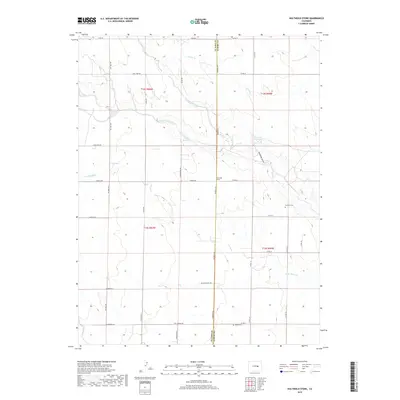
2019 Map of Holtwold Store
USGS Topo · Published 2019About this map
Holtwold Store stands as a central landmark in this high plains region of El Paso County, where the landscape is defined by the intermittent drainages of the Horse Creek system. This 2019 survey captures the rural character of the eastern Colorado grasslands, illustrating a transition from the agricultural plateaus of t12s r60w into the more complex topography of Deadman Gulch. Water management is central to the area's history, evidenced by Cutler Reservoir and Deadman Reservoir, which capture runoff from the N Fork Horse Cr and Adobe Cr. The map's grid of section lines and county roads, such as Kendrick Rd and Oil Well Rd, reveals the enduring spatial organization of local ranching and land use. Genealogists will find interest in the documented locations of the Catholic Cem and Kanza Cem, preserving the legacy of the area's early settlers.
Find a feature on this map
39 named features on this map. Tap any name to fly to it.
Don’t see what you’re looking for? This feature index may not catch every label — zoom into the map to look around manually.
Map Details
Editions of this 2019 Holtwold Store Map
This is the sole edition of this map. No revisions or reprints were ever made.
Other maps of this area
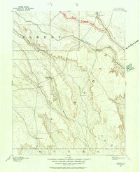
1889 · Sanborn
USGS Topo · 1:125,000
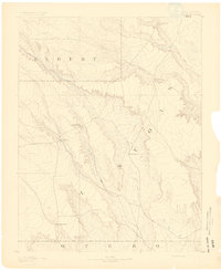
1891 · Sanborn
USGS Topo · 1:125,000
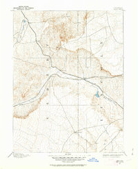
1891 · Limon
USGS Topo · 1:125,000
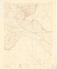
1892 · Limon
USGS Topo · 1:125,000
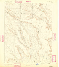
1893 · Sanborn
USGS Topo · 1:125,000
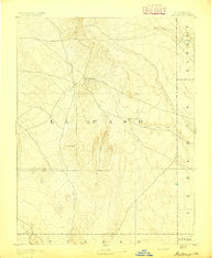
1893 · Big Springs
USGS Topo · 1:125,000
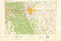
1953 · Denver
USGS Topo · 1:250,000

1954 · Limon
USGS Topo · 1:250,000

1954 · Lamar
USGS Topo · 1:250,000
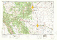
1954 · Pueblo
USGS Topo · 1:250,000