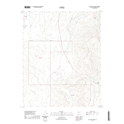
2020 Map of Holy Ghost Spring
USGS Topo · Published 2020About this map
Holy Ghost Spring and its surrounding desert canyons define this high-desert landscape in Sandoval County. The complex drainage network is marked by the Rio Salado and Rio Puerco, which have carved deep into the terrain alongside numerous arroyos such as Arroyo Lopez and Arroyo Semilla. Human presence is evidenced primarily by a network of Indian Service Routes and the historic alignment of Old State Hwy 279, reflecting the connectivity of tribal lands and remote outposts.
Find a feature on this map
29 named features on this map. Tap any name to fly to it.
Don’t see what you’re looking for? This feature index may not catch every label — zoom into the map to look around manually.
Map Details
Editions of this 2020 Holy Ghost Spring Map
This is the sole edition of this map. No revisions or reprints were ever made.
Other maps of this area
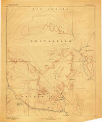
1883 · Mt. Taylor
USGS Topo · 1:250,000
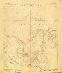
1886 · Mt. Taylor
USGS Topo · 1:250,000
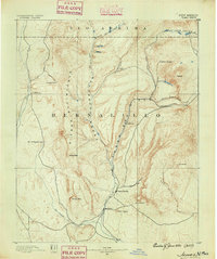
1890 · Jemes
USGS Topo · 1:125,000
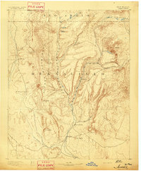
1892 · Jemes
USGS Topo · 1:125,000
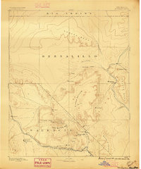
1892 · Mt. Taylor
USGS Topo · 1:250,000
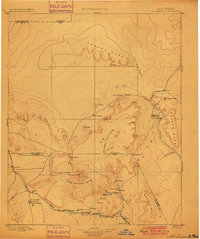
1899 · Mt. Taylor
USGS Topo · 1:250,000
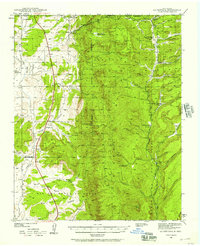
1939 · La Ventana
USGS Topo · 1:62,500
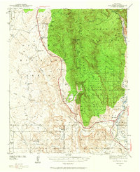
1939 · San Ysidro
USGS Topo · 1:62,500
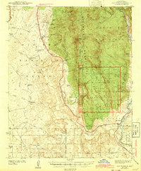
1943 · San Ysidro
USGS Topo · 1:62,500
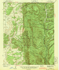
1943 · La Ventana
USGS Topo · 1:62,500