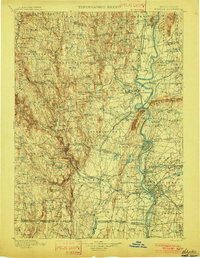
1901 Map of Holyoke
USGS Topo · Published 1901About this map
Bisbee Mill and numerous smaller settlements like Shack Street and Ringville dot the landscape west of the Connecticut River in this turn-of-the-century portrait of Western Massachusetts and Northern Connecticut. The region's industrial and agricultural character is evident in the concentration of mills and the presence of the Agricultural College near the river valley. The river itself serves as a central artery, featuring the South Ferry crossing and providing water for the growing communities of Holyoke, Chicopee, and Springfield. Transport networks including the Boston and Maine R.R. and the Boston & Albany R.R. define the era's commerce, linking the rugged highlands of the Berkshire foothills with the fertile Pioneer Valley. To the south, the Congamond Lakes sit along the Massachusetts-Connecticut boundary line, illustrating the complex geography of the borderlands during the late Victorian period.
Find a feature on this map
177 named features on this map. Tap any name to fly to it.
Don’t see what you’re looking for? This feature index may not catch every label — zoom into the map to look around manually.
Map Details
Editions of this 1901 Holyoke Map
4 editions found
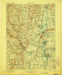
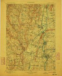
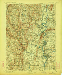
Other maps of this area

1885 · Northampton
USGS Topo · 1:62,500

1886 · Greylock
USGS Topo · 1:62,500

1886 · Springfield
USGS Topo · 1:62,500

1886 · Hawley
USGS Topo · 1:62,500

1886 · Chesterfield
USGS Topo · 1:62,500

1886 · Northampton
USGS Topo · 1:62,500

1886 · Becket
USGS Topo · 1:62,500

1887 · Warwick
USGS Topo · 1:62,500

1887 · Palmer
USGS Topo · 1:62,500

1887 · Belchertown
USGS Topo · 1:62,500