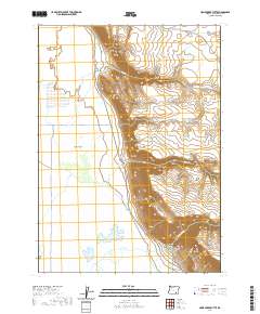
2020 Map of Home Creek Butte
USGS Topo · Published 2020About this map
Catlow Valley dominates the western portion of this high desert landscape, characterized by its expansive lowlands and the intermittent waters of West Field Lake. To the east, the dramatic elevation change at Catlow Rim defines the boundary between the basin and the uplands. This 2020 survey illustrates a sparsely populated region where the environment dictates human movement, primarily along the Catlow Valley Rd which skirts the base of the rim. Water resources are scarce and localized, focused on seasonal drainages like Home Cr and Threemile Cr that carve into the volcanic plateau. Home Creek Butte stands as a prominent landmark on the eastern edge, while Threemile Canyon reveals the erosive power of water in this arid terrain, showing how historical grazing or ranching operations would have been tied strictly to these rare riparian corridors.
Find a feature on this map
13 named features on this map. Tap any name to fly to it.
Don’t see what you’re looking for? This feature index may not catch every label — zoom into the map to look around manually.
Map Details
Editions of this 2020 Home Creek Butte Map
This is the sole edition of this map. No revisions or reprints were ever made.
Other maps of this area

1955 · Adel
USGS Topo · 1:250,000

1957 · Adel
USGS Topo · 1:250,000

1958 · Adel
USGS Topo · 1:250,000

1962 · Adel
USGS Topo · 1:250,000
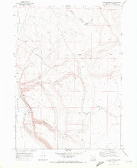
1967 · Roaring Springs
USGS Topo · 1:24,000
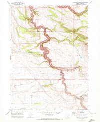
1968 · Tombstone Canyon
USGS Topo · 1:24,000
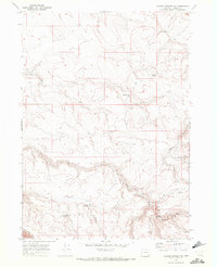
1968 · Roaring Springs SE
USGS Topo · 1:24,000
1971 · Blitzen
USGS Topo · 1:24,000
1971 · Garrison Lake
USGS Topo · 1:24,000
1971 · Butler Hill
USGS Topo · 1:24,000