
1971 Map of Blitzen
USGS Topo · Published 1974About this map
Blitzen sits as a quiet focal point in this remote corner of southeastern Oregon, characterized by the expansive arid floor of the Catlow Valley (Depression). The landscape is defined by its reliance on isolated water sources, essential for ranching and survival in the high desert. Scattered across the basin are critical infrastructure points such as McBurney Well and various Water Tanks, which supported the livestock industry that shaped the region's human geography. The terrain is marked by subtle elevation changes and bench marks, illustrating the meticulous work of the Usc&GS and the Geological Survey in documenting this sparsely populated territory. The presence of numerous wells indicates the importance of subterranean aquifers in a region where surface water is scarce, providing a glimpse into the logistical challenges of early 1970s land management.
Find a feature on this map
5 named features on this map. Tap any name to fly to it.
Don’t see what you’re looking for? This feature index may not catch every label — zoom into the map to look around manually.
Map Details
Editions of this 1971 Blitzen Map
This is the sole edition of this map. No revisions or reprints were ever made.
Other maps of this area

1955 · Adel
USGS Topo · 1:250,000

1957 · Adel
USGS Topo · 1:250,000

1958 · Adel
USGS Topo · 1:250,000

1962 · Adel
USGS Topo · 1:250,000

1967 · Roaring Springs
USGS Topo · 1:24,000

1971 · Fish Fin Rim
USGS Topo · 1:24,000

1971 · Garrison Lake
USGS Topo · 1:24,000

1971 · Butler Hill
USGS Topo · 1:24,000
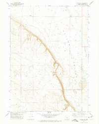
1971 · Coyote Gap
USGS Topo · 1:24,000
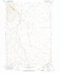
1971 · Blitzen SW
USGS Topo · 1:24,000