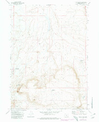
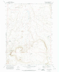
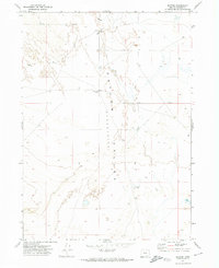
1971 Map of Fish Fin Rim
USGS Topo · Published 1971About this map
Fish Fin Rim and its prominent peak, Big Fish Fin, define the high ground of this high-desert landscape in southeastern Oregon. To the northeast, the terrain drops significantly into the expansive Catlow Valley, while the southeastern corner contains the dry bed of Coyote Lake. This 1970s survey captures a working rangeland environment where survival is managed through a network of remote catchments such as Rimrock Waterhole, East Gulch Waterhole, and Bench Top Waterhole. The presence of Mustang Jail and nearby Walls in the southern reaches suggests the historical infrastructure of wild horse management or cattle ranching. A single Jeep Trail provides the primary transit across the eastern slopes, leading toward Coyote Gap and the open flats below the rim.
Find a feature on this map
13 named features on this map. Tap any name to fly to it.
Don’t see what you’re looking for? This feature index may not catch every label — zoom into the map to look around manually.
Map Details
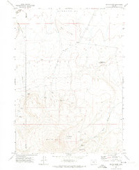
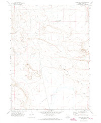
Editions of this 1971 Fish Fin Rim Map
2 editions found
Other maps of this area

1955 · Adel
USGS Topo · 1:250,000

1957 · Adel
USGS Topo · 1:250,000

1958 · Adel
USGS Topo · 1:250,000

1962 · Adel
USGS Topo · 1:250,000
1971 · Beatys Butte
USGS Topo · 1:24,000
1971 · Surveyors Lake
USGS Topo · 1:24,000
1971 · Blitzen
USGS Topo · 1:24,000
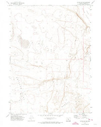
1971 · Coyote Gap SE
USGS Topo · 1:24,000
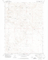
1971 · Mahogany Butte
USGS Topo · 1:24,000
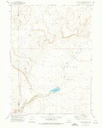
1971 · Guano Reservoir
USGS Topo · 1:24,000