
1971 Map of Coyote Gap SE
USGS Topo · Published 1974About this map
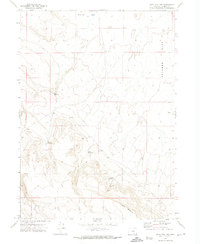
Catlow Valley (Depression) dominates the northeastern quadrant of this high-desert landscape in Harney County, illustrating the vast geological depressions characteristic of this region in the early 1970s. The terrain is defined by its isolation and specialized land use, with limited transportation infrastructure appearing only as a Jeep Trail winding through the scrubland. This survey, based on aerial photography from 1970, captures the desolate character of the Basque Hills and the open expanses of Butcher Flat. These names suggest a history of ranching and regional settlement patterns common to eastern Oregon, where the landscape is carved by seasonal drainages and high-altitude plateaus rather than permanent settlements or paved thoroughfares.
Find a feature on this map
7 named features on this map. Tap any name to fly to it.
Don’t see what you’re looking for? This feature index may not catch every label — zoom into the map to look around manually.
Map Details
Editions of this 1971 Coyote Gap SE Map
This is the sole edition of this map. No revisions or reprints were ever made.
Other maps of this area

1955 · Adel
USGS Topo · 1:250,000

1957 · Adel
USGS Topo · 1:250,000

1958 · Adel
USGS Topo · 1:250,000

1962 · Adel
USGS Topo · 1:250,000

1971 · Fish Fin Rim
USGS Topo · 1:24,000

1971 · Square Mountain
USGS Topo · 1:24,000
1971 · Acty Mountain NW
USGS Topo · 1:24,000

1971 · Surveyors Lake
USGS Topo · 1:24,000

1971 · Garrison Lake
USGS Topo · 1:24,000
1971 · Coyote Gap
USGS Topo · 1:24,000