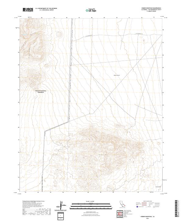
2021 Map of Homer Mountain
USGS Topo · Published 2021About this map
The Mojave National Preserve anchors the western portion of this topographic study, where the arid high-desert landscape transitions into the steep relief of the Piute Range. This area of San Bernardino County is defined by its isolation and the critical presence of Piute Spring, a rare water source that has dictated movement through this desert corridor for centuries. In the northern sections, the historic Old Government Rd cuts an east-west path across the Mojave Desert, marking a legacy of mid-19th-century military and mail routes. To the south, the terrain rises sharply toward the volcanic peaks of Homer Mtn, while the eastern reaches flatten into the broad expanse of Piute Valley. The network of paths, including Piute Canyon Trl and Piute Canyon Loop Trl, highlights the enduring importance of topography in directing travel through the rain shadows and canyons of this California borderland.
Find a feature on this map
13 named features on this map. Tap any name to fly to it.
Don’t see what you’re looking for? This feature index may not catch every label — zoom into the map to look around manually.
Map Details
Editions of this 2021 Homer Mountain Map
This is the sole edition of this map. No revisions or reprints were ever made.
Other maps of this area

1886 · Camp Mohave
USGS Topo · 1:250,000

1892 · Camp Mohave
USGS Topo · 1:250,000

1910 · Ivanpah
USGS Topo · 1:250,000

1912 · Ivanpah
USGS Topo · 1:250,000

1926 · Mohave City
USGS Topo · 1:96,000

1942 · Camp Mohave
USGS Topo · 1:250,000

1942 · Ivanpah
USGS Topo · 1:250,000

1942 · Amboy
USGS Topo · 1:250,000

1943 · Amboy
USGS Topo · 1:250,000

1943 · Fenner
USGS Topo · 1:62,500