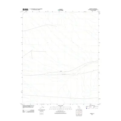
2012 Map of Homer
USGS Topo · Published 2012About this map
Homer is a modest desert settlement in eastern San Bernardino County, defined by its position at a historic crossroads. This 2012 survey illustrates a sparse landscape where transportation routes provide the primary structure for human activity. Two significant local thoroughfares, Goffs Rd and Homer-Klinefelter Rd, intersect near the center of the sheet, tracing the paths of long-established desert corridors. The map records the drainages and topography of the high desert, showing how the local road network follows the natural contours of the land. For the modern researcher, it serves as a precise record of late twentieth and early twenty-first-century infrastructure in this isolated region of California.
Find a feature on this map
3 named features on this map. Tap any name to fly to it.
Don’t see what you’re looking for? This feature index may not catch every label — zoom into the map to look around manually.
Map Details
Editions of this 2012 Homer Map
This is the sole edition of this map. No revisions or reprints were ever made.
Other maps of this area
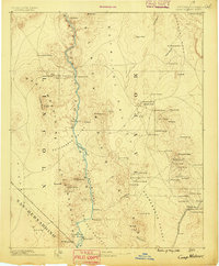
1886 · Camp Mohave
USGS Topo · 1:250,000
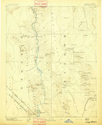
1892 · Camp Mohave
USGS Topo · 1:250,000

1910 · Ivanpah
USGS Topo · 1:250,000

1912 · Ivanpah
USGS Topo · 1:250,000
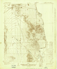
1926 · Mohave City
USGS Topo · 1:96,000
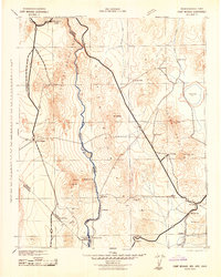
1942 · Camp Mohave
USGS Topo · 1:250,000

1942 · Ivanpah
USGS Topo · 1:250,000

1942 · Amboy
USGS Topo · 1:250,000

1943 · Amboy
USGS Topo · 1:250,000
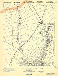
1943 · Fenner
USGS Topo · 1:62,500