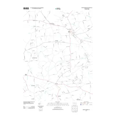
2013 Map of Honey Brook
USGS Topo · Published 2013About this map
Welsh Mountain anchors the northern landscape of this region where the headwaters of several critical drainages emerge. The terrain is defined by the high ground of The Baron Hills and the winding course of Pequea Cr, which flows southwest through a landscape of historic crossroads and small townships. Settlements like Honey Brook and Cambridge serve as local hubs, connected by a network of rural roads such as Meadville Rd and Cambridge Rd.
Find a feature on this map
182 named features on this map. Tap any name to fly to it.
Don’t see what you’re looking for? This feature index may not catch every label — zoom into the map to look around manually.
Map Details
Editions of this 2013 Honey Brook Map
This is the sole edition of this map. No revisions or reprints were ever made.
Other maps of this area

1904 · Coatesville
USGS Topo · 1:62,500

1905 · Honey Brook
USGS Topo · 1:62,500

1906 · Coatesville
USGS Topo · 1:62,500

1906 · New Holland
USGS Topo · 1:62,500

1907 · Honeybrook
USGS Topo · 1:62,500

1908 · New Holland
USGS Topo · 1:62,500

1912 · Quarryville
USGS Topo · 1:62,500

1918 · Coatesville
USGS Topo · 1:62,500

1941 · Honeybrook
USGS Topo · 1:62,500

1941 · New Holland
USGS Topo · 1:62,500
Featured Places
- East Earl Township, PA
- Honey Brook, PA
- Cains, Salisbury Township
- Suplee, Honey Brook Township
- Cole Hill, Salisbury Township