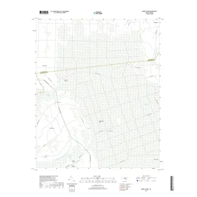
2019 Map of Honey Island
USGS Topo · Published 2019About this map
Honey Island Swamp dominates this landscape on the border of Columbus and Brunswick counties, where a complex network of wetlands defines the local geography. The area is characterized by vast, open spaces such as Crane Savanna and Big Savanna, interspersed with named ridges like Riegel Ridge and Rattlesnake Ridge that provide slight elevation amidst the saturated lowlands.
Find a feature on this map
32 named features on this map. Tap any name to fly to it.
Don’t see what you’re looking for? This feature index may not catch every label — zoom into the map to look around manually.
Map Details
Editions of this 2019 Honey Island Map
This is the sole edition of this map. No revisions or reprints were ever made.
Other maps of this area

1942 · Juniper Creek
USGS Topo · 1:24,000

1943 · Honey Island
USGS Topo · 1:24,000

1943 · Exum
USGS Topo · 1:24,000

1943 · Bolivia
USGS Topo · 1:24,000

1943 · Supply
USGS Topo · 1:24,000

1943 · Lewis Swamp
USGS Topo · 1:24,000

1944 · Supply
USGS Topo · 1:31,680

1944 · Bolivia
USGS Topo · 1:31,680

1944 · Lewis Swamp
USGS Topo · 1:31,680
1950 · Supply
USGS Topo · 1:25,000